Upload Geodata Files
Geodata files are sometimes used when site calibrations are created. If a surveyor uses a geodata file (like a geoid file) when creating the calibration file (.cal), the geoid files need to be uploaded to the asset.
You can now upload geodata files on VisionLink Productivity to a site. Then, you can sync them onto the asset’s Geodata folder.
This ensures more accurate reporting of site and asset data.
![]()
• To know more about geodata files, reach out to your project’s survey manager.
• The following geodata file types are supported:
° .ggf (geoid file)
° .sgf (shift grid file)
° .dat (snake grid file)
° .dgf (GPS Pathfinder Office-geoid datum grid file)
° CoordSystemDatabase.xml (Cat Grade/Trimble Earthworks Coordinate System Database file)
• You must also upload calibration and CoordSystemDatabase.xml files to the relevant site as well.
• The geoid, calibration and CoordSystemDatabase.xml file names should match, both offboard (on the application) and onboard the asset.
• Any .xml file not named as “CoordSystemDatabase.xml” will be considered a design (landXML) file.
• You can only upload one calibration and geoid file type per site. If you want to re-upload a geoid file of a particular file type, you’ll need to delete the existing one first.

For an optimum experience while using geoid files, upload files in the following order:
1. Calibration file
2. Geodata file
3. CoordSystemDatabase.xml file
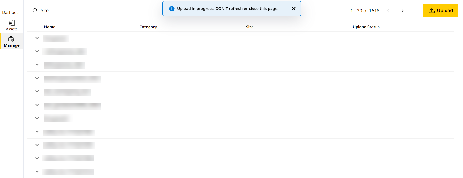
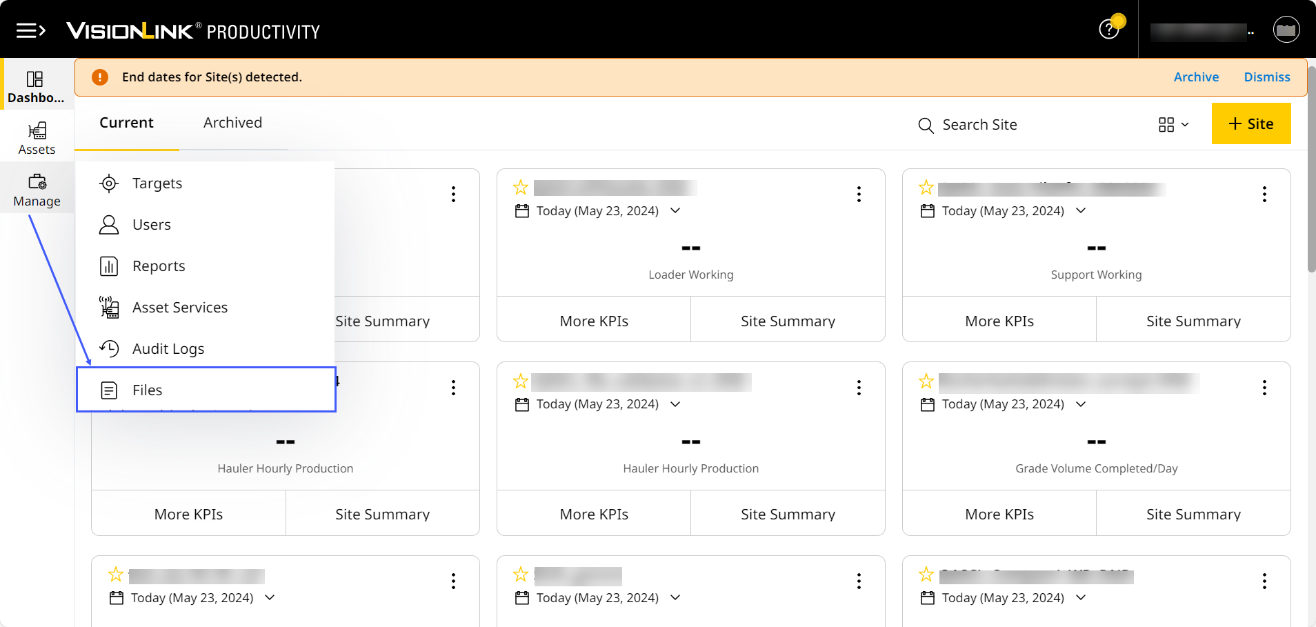
To upload geodata files onto VisionLink Productivity:
-
Click
 .
.
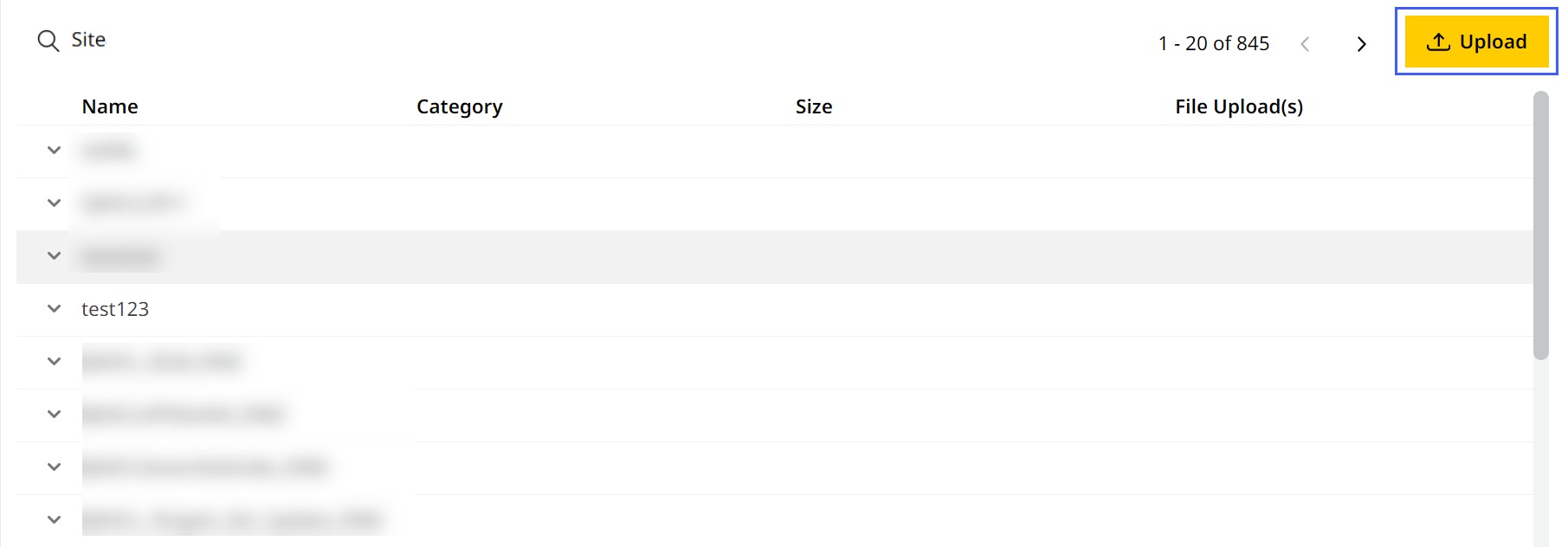
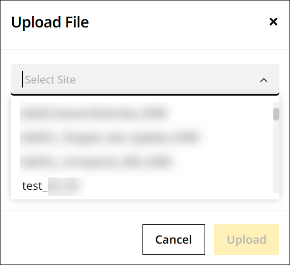
-
Select the desired site.
-
Upload the following files:
-
Calibration file
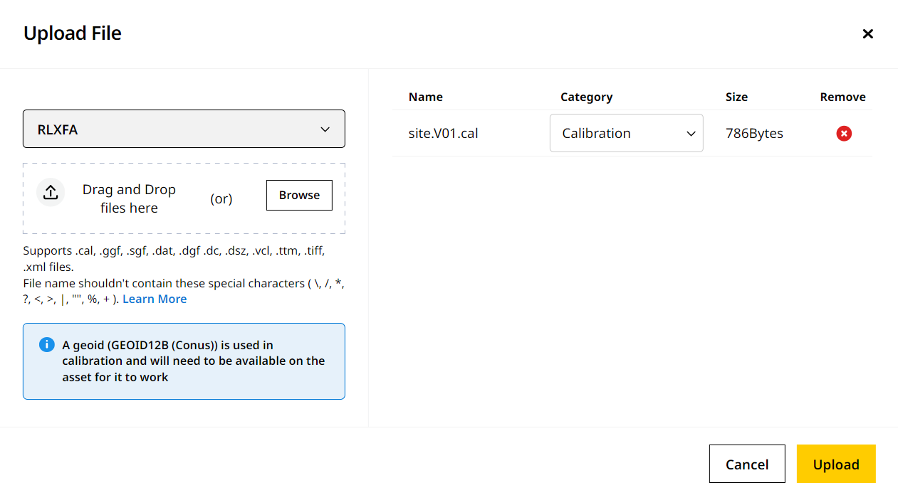

• Ensure any newly uploaded calibration file has the following referenced:
˚ Specific geodata file with file name.
˚ CoordSystemDatabase.xml file.
• Your site may already have a calibration file uploaded prior. If so, you can upload geodata file without it referenced in the calibration file. -
Geodata file
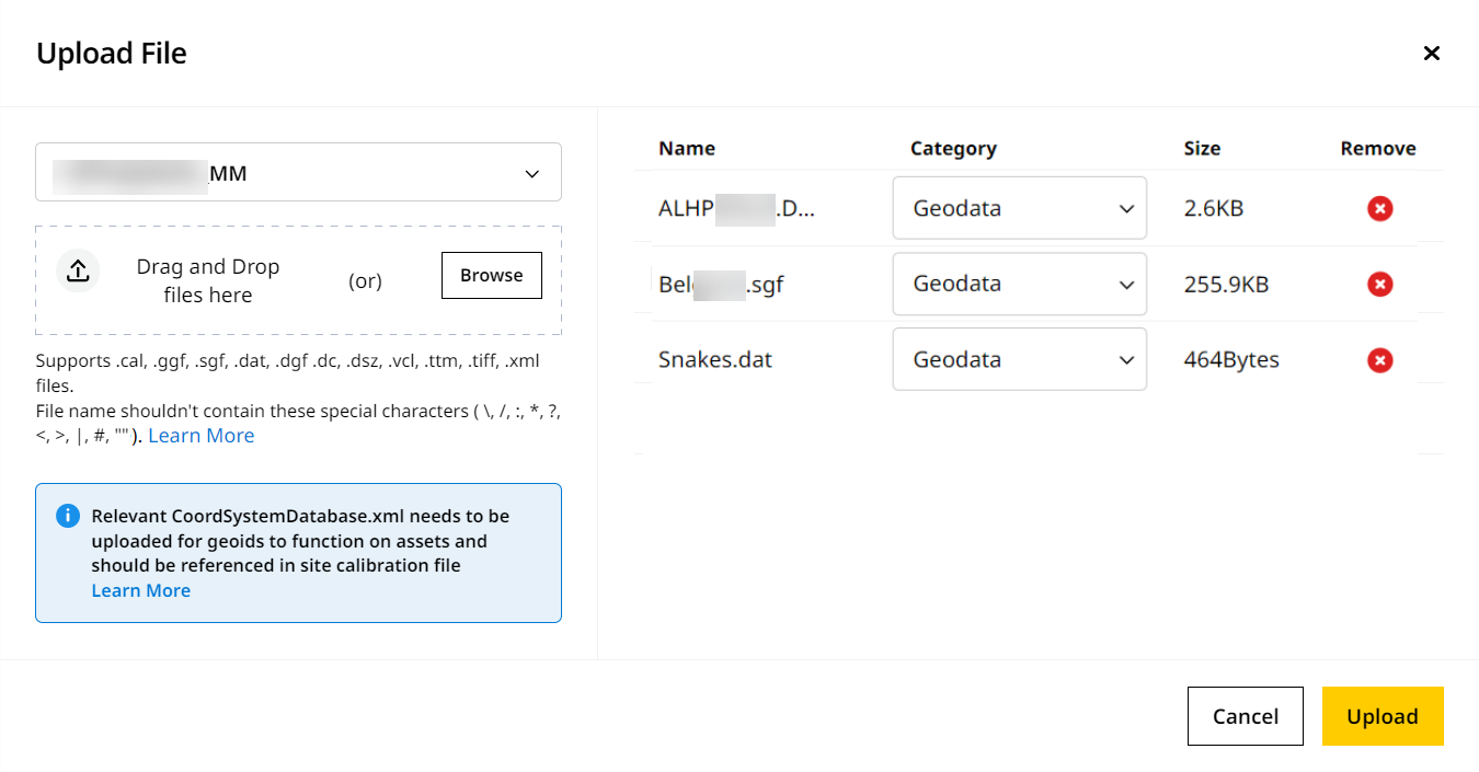
• Only one geodata file of each file type can be uploaded to a single site at time. Delete the existing geodata file of a particular file type before uploading another one of the same type.
• Ensure the geodata file has the specific geodata file with file name referenced.
• You can upload either published or custom geodata files.
˚ If you’re uploading a custom geoid file, ensure you’ve edited the CoordSystemDatabase.xml file to reference the same. -
Relevant CoordSystemDatabase.xml file
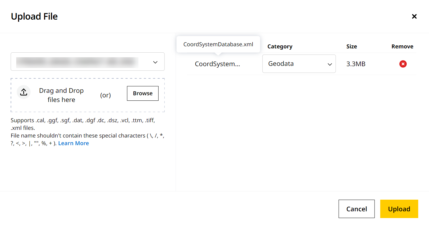
• The CoordSystemDatabase.xml file should be referenced in both the geodata and calibration file uploaded to that site.
• For custom geoid files, you’ll need to update the CoordSystemDatabase.xml file accordingly. To learn more, refer to Edit CoordSystemDatabase.xml File for Custom Geoid Files. Caution: If an .xml file is not named “CoordSystemDatabase.xml”, the application will consider it as a design (landXML) file and assign it the Design category. Ensure the file is named accordingly.
-
-
Give it some time for the files to upload. DON’T close or refresh the browser. You can still navigate to other pages within the application. A success message displays confirming when the upload is complete.
To know more about uploading files, refer to Files > step five onwards.