Uploading Survey Files
Survey files are triangulated surface files that represent the ground state at a specific moment in time. The survey file can be created using survey administrators or drones, incorporating survey measurement and data. Survey data is used to build composite surfaces throughout the application.

Once uploaded into VisionLink Productivity, all survey files are time-stamped.
Uploading Survey Files
To upload survey files:
-
On Files, click
 > select Survey.

-
Select the desired site from the Site Name drop down.

On the Site Name drop down, you can search for your desired site in case to quickly find and select them.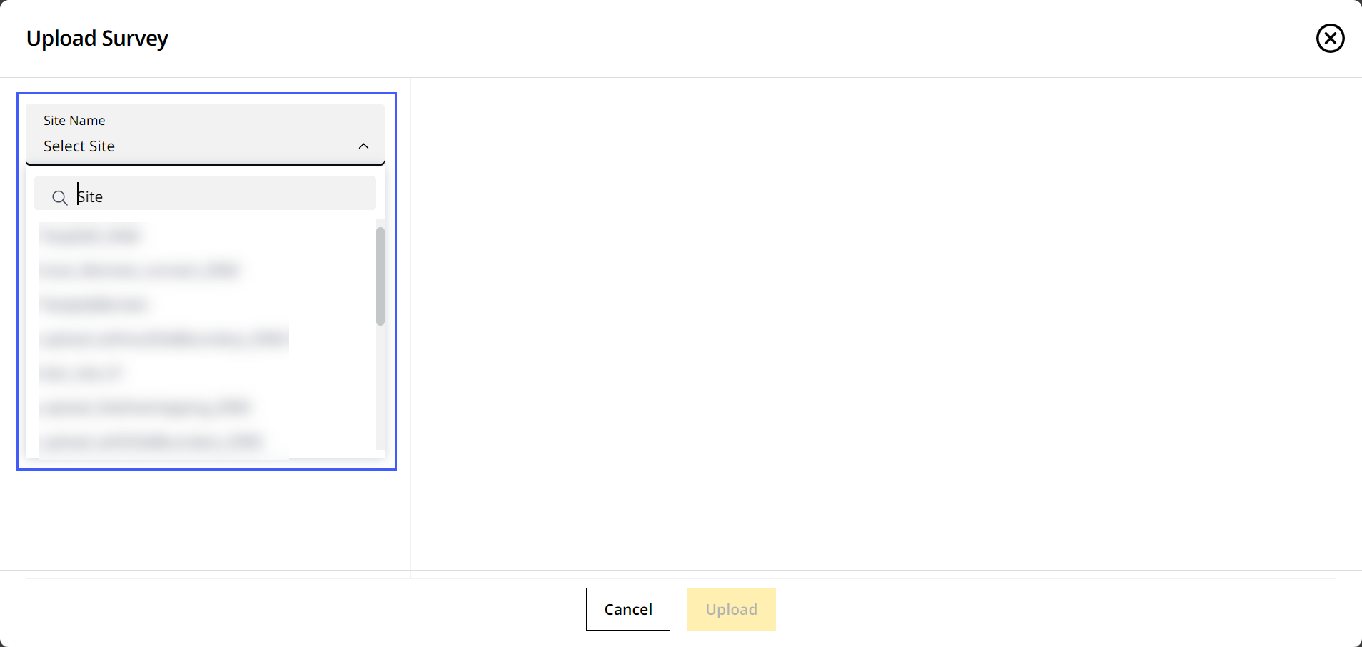
-
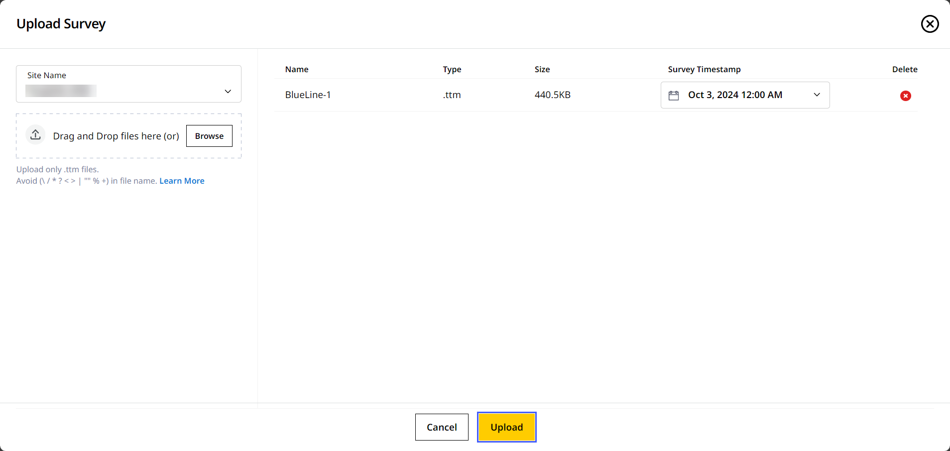
Drag and drop the file from your device or click Browse to find the file.
• On Upload Survey, you can only upload survey-based .ttm file types.
• The .tiff (geoTIFF) files must contain only the WGS84 coordinate reference system.
-
Under Survey Timestamp, select the date and time the file was created. Click Apply to save the date and time.

-
Click Upload to complete the process.
-
Give it a few minutes for the file(s) to upload.
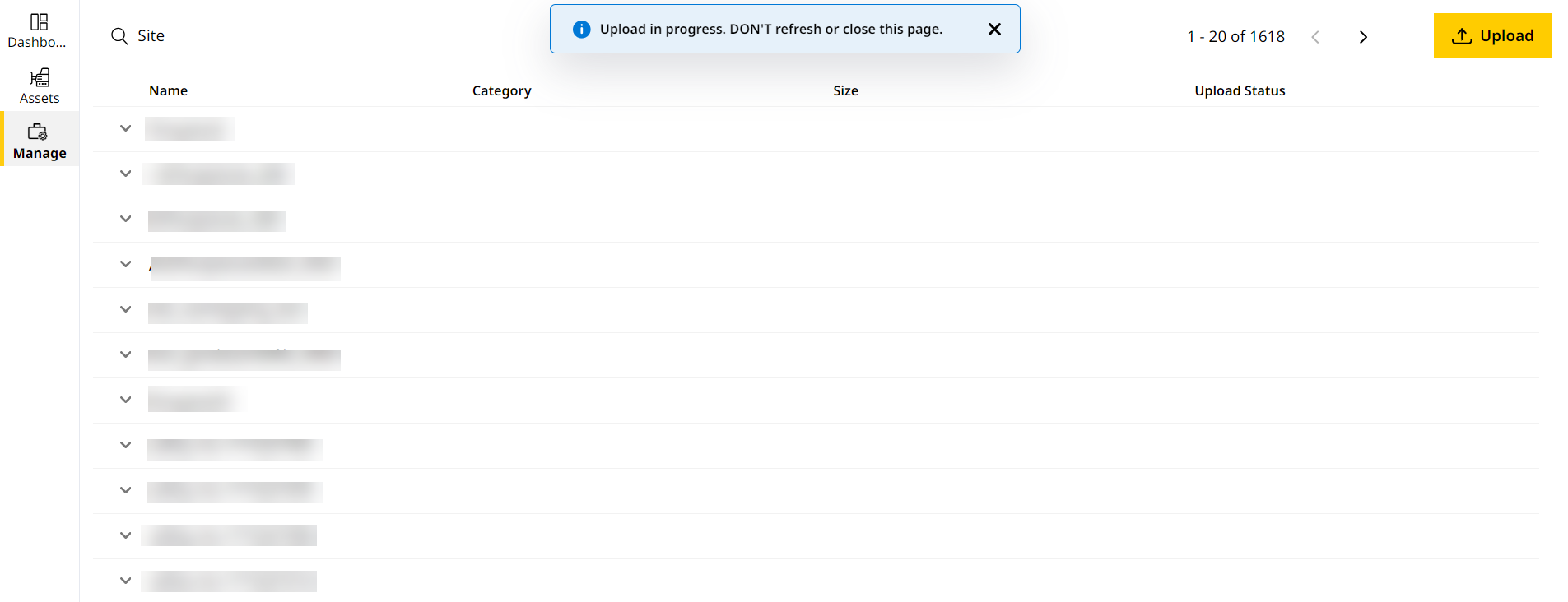
If you're uploading .ttm file, a 3D visualization will be generated for you to preview. Refer to Preview File to know more.
View ImageView Image
